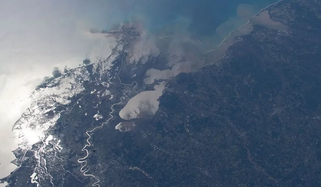
Coastal areas worldwide, including places like Drakes Bay on the Point Reyes Peninsula in Northern California, are becoming increasingly vulnerable to the effects of sea level rise. These rising waters threaten the livelihoods, infrastructure, and safety of communities that live along coastlines. In response to this growing challenge, NASA is providing vital data that can help coastal regions prepare for the impacts of sea level rise and climate change.
Global Sea Level Rise and Its Impacts
The oceans are rising, causing disruptions in coastal areas worldwide. As sea levels rise, they bring with them a range of challenges including more frequent flooding, damage to infrastructure, and loss of land. Communities along the coast are often the hardest hit, with many facing the potential of losing vital resources. To address these issues, various organizations and governments are working together to find solutions. NASA’s data, which tracks sea level rise globally, plays a crucial role in these efforts.
In collaboration with several international organizations such as the U.S. Department of Defense, the World Bank, the U.S. Department of State, and the United Nations Development Programme, NASA has created an online platform dedicated to tracking sea level rise. This platform is a part of the Earth Information Center and offers crucial data about sea level changes globally. The platform provides projections of how sea levels are expected to rise up until 2150, along with estimates for the amount of flooding that specific coastal regions might face in the next 30 years. This data is gathered from a combination of satellite observations, computer models, and assessments from the Intergovernmental Panel on Climate Change (IPCC).
Data that Supports Global Planning
The global sea level change website is a critical resource for organizations like the World Bank, which uses the data to create climate risk profiles for countries that are particularly vulnerable to rising sea levels. These profiles help nations understand their specific risks and plan accordingly. The U.S. Department of Defense also uses this data to assess the potential impacts of sea level rise on its military facilities and bases around the world. By understanding the risks, the Department can better plan for and respond to these threats. Similarly, the U.S. Department of State uses this information to guide disaster preparedness efforts and assist countries in developing strategies to adapt to the changing environment.
Assistant Secretary-General Selwin Hart, special adviser to the United Nations Secretary-General on climate action, emphasized the importance of this data, stating, “The science is unequivocal and must serve as the bedrock upon which decision-making is built.” Hart also noted that the data provided by NASA offers a valuable tool for communities already experiencing the effects of sea level rise. This information will help these communities protect lives, property, and resources from the escalating threats posed by the ocean.
Rising Sea Levels and Accelerated Impact
NASA’s data has shown that sea levels have been rising at an accelerated rate. From 1970 to 2023, nearly every country with a coastline experienced sea level rise. The rate of global sea level rise has more than doubled since 1993, increasing from 0.08 inches (0.21 centimeters) per year to 0.18 inches (0.45 centimeters) per year in 2023. This acceleration of sea level rise means that the impacts will be felt much sooner than initially projected.
As the rate of sea level rise increases, coastal areas can expect more frequent and severe flooding. Storm surges will become larger, and saltwater intrusion into freshwater resources will increase. Additionally, communities will experience more “nuisance floods,” which occur on sunny days without any storms, simply due to the rising tides. These floods, although not as dramatic as storm surges, can cause significant damage to infrastructure and disrupt daily life.
Pacific Island Nations at High Risk
One of the most affected regions is the Pacific Islands. Data from NASA indicates that Pacific Island nations are expected to see at least 6 inches (15 centimeters) of sea level rise over the next 30 years. This may seem like a small amount, but it can have devastating effects on these low-lying islands. The number of high-tide flood days in these areas will increase dramatically by the 2050s, meaning that these islands could face significant challenges in the coming decades.
Ben Hamlington, a sea level researcher at NASA’s Jet Propulsion Laboratory, highlighted the urgency of the situation, saying, “The data is clear: Sea levels are rising around the world, and they’re rising faster and faster.” He also emphasized the importance of using the best available information to help decision-makers plan for the future. With the right tools, coastal communities can better prepare for and mitigate the impacts of sea level rise.
Taking Action and Planning for the Future
In response to these challenges, NASA and its partners are working to provide the best possible data to help coastal communities plan for the future. The global sea level change website is a step in the right direction, offering easy access to critical information that can guide decision-making. As sea levels continue to rise, it is essential for governments, organizations, and individuals to use this data to take proactive measures and protect vulnerable communities.
By using NASA’s data, we can better understand the risks of sea level rise and take the necessary steps to ensure the safety and sustainability of coastal areas for generations to come.


